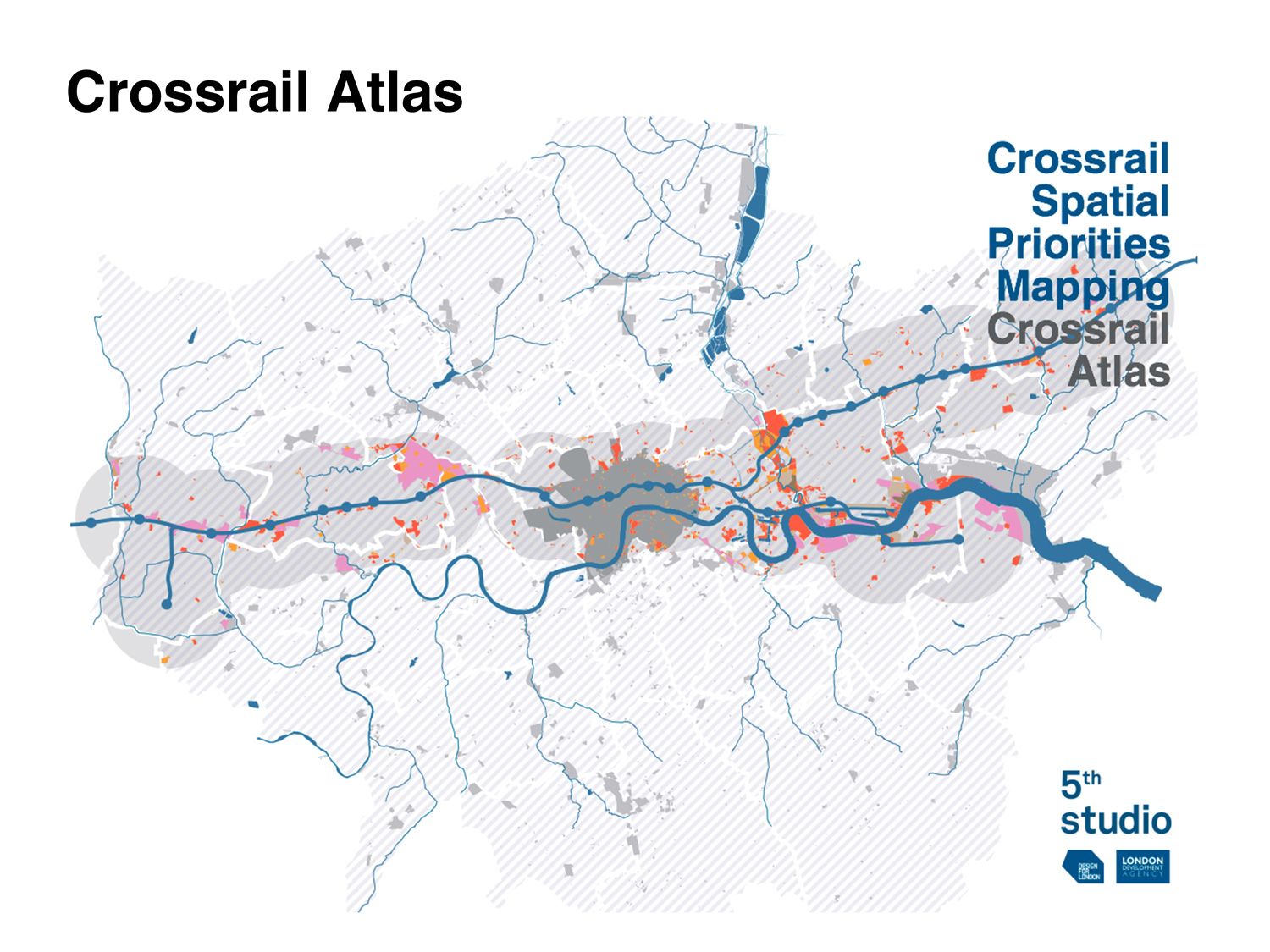
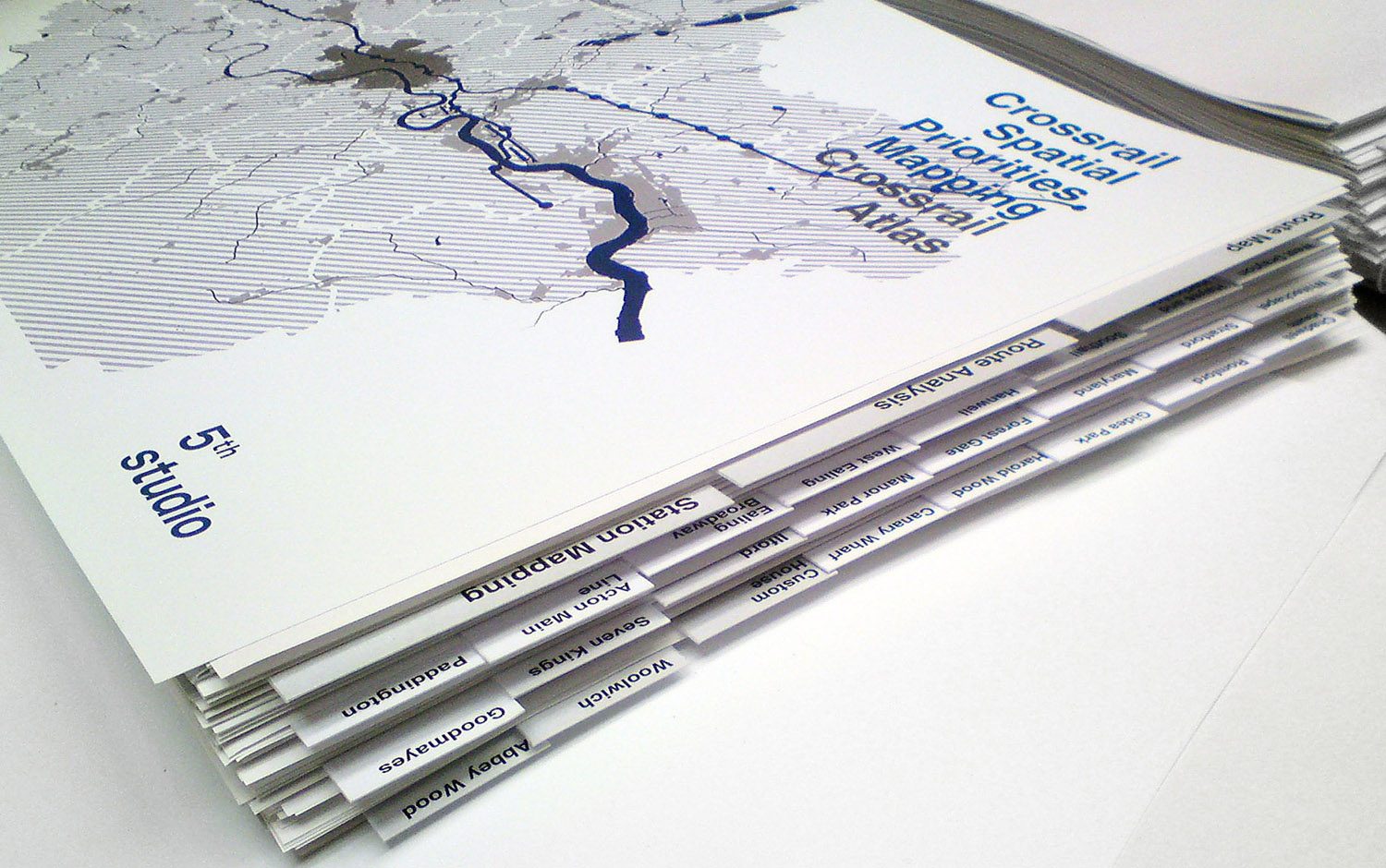
The Crossrail Atlas attempts to provide a comprehensive description of the regeneration potential of the Crossrail project. The Atlas was prepared by 5th Studio on behalf of Design for London / London Development Agency (LDA), and was undertaken in parallel with an economic study by Regeneris Consulting. These studies sought to identify the role that the LDA might play in maximising the regeneration and economic development benefits from Crossrail.
The Atlas describes the possible geography of urban change and regeneration along the Crossrail route.
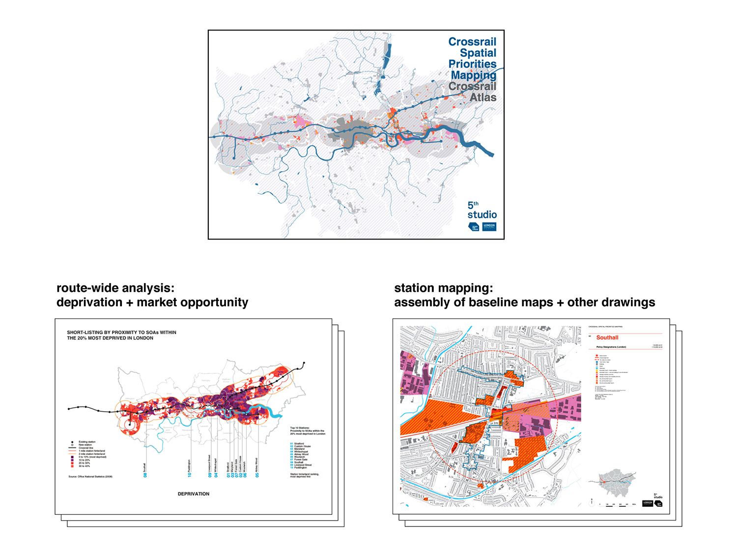
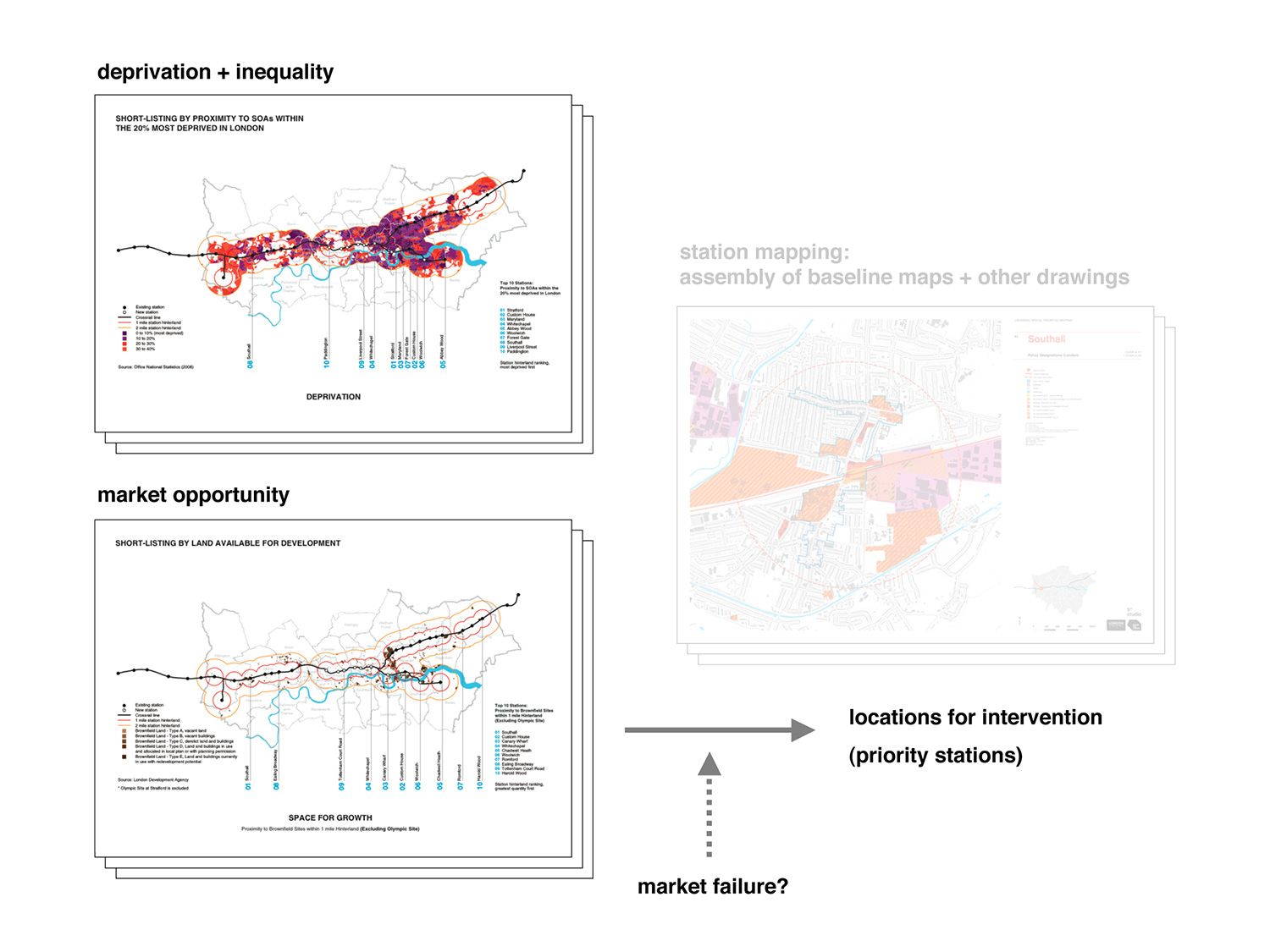
At the scale of the Crossrail route as a whole, the Atlas includes a series of analytical drawings – mapping a range of indices relating to deprivation and market opportunity at the scale of London – which underpin an analysis of priority locations for public sector intervention.
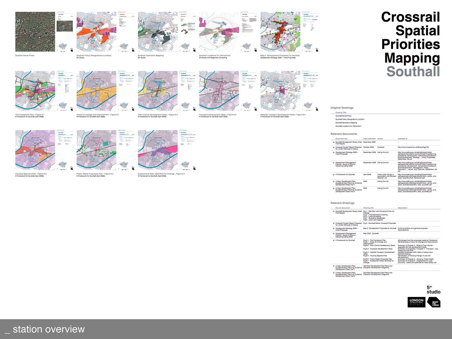
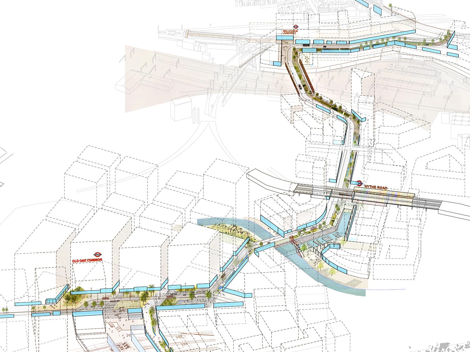
At the scale of the individual stations, the document draws together comparative information about the urban context and potential for change around each of the stations. Extracts of relevant proposals and Borough policies are re-presented at the same scale to allow cross-referencing and comparison.
As such, the document largely draws together pre-existing information and is not itself propositional. However by collecting together salient information within a single volume, it aims to provide a platform for future work and intervention by the LDA and its partners, to maximise the regeneration benefits of Crossrail.
