Test

Certified B Corporation — Adaptive Retrofit — Humanising Infrastructure — Making better places — Architecture — Public Realm — Spatial Strategy — Creative Reuse — Urban Transformation — Decarbonisation —

Old Oak and Park Royal— London

Client(s)

Old Oak & Park Royal Development Corporation (OPDC) and Transport for London

Collaborator(s)

Alan Baxters Ltd / Wedderburn Transport Planning

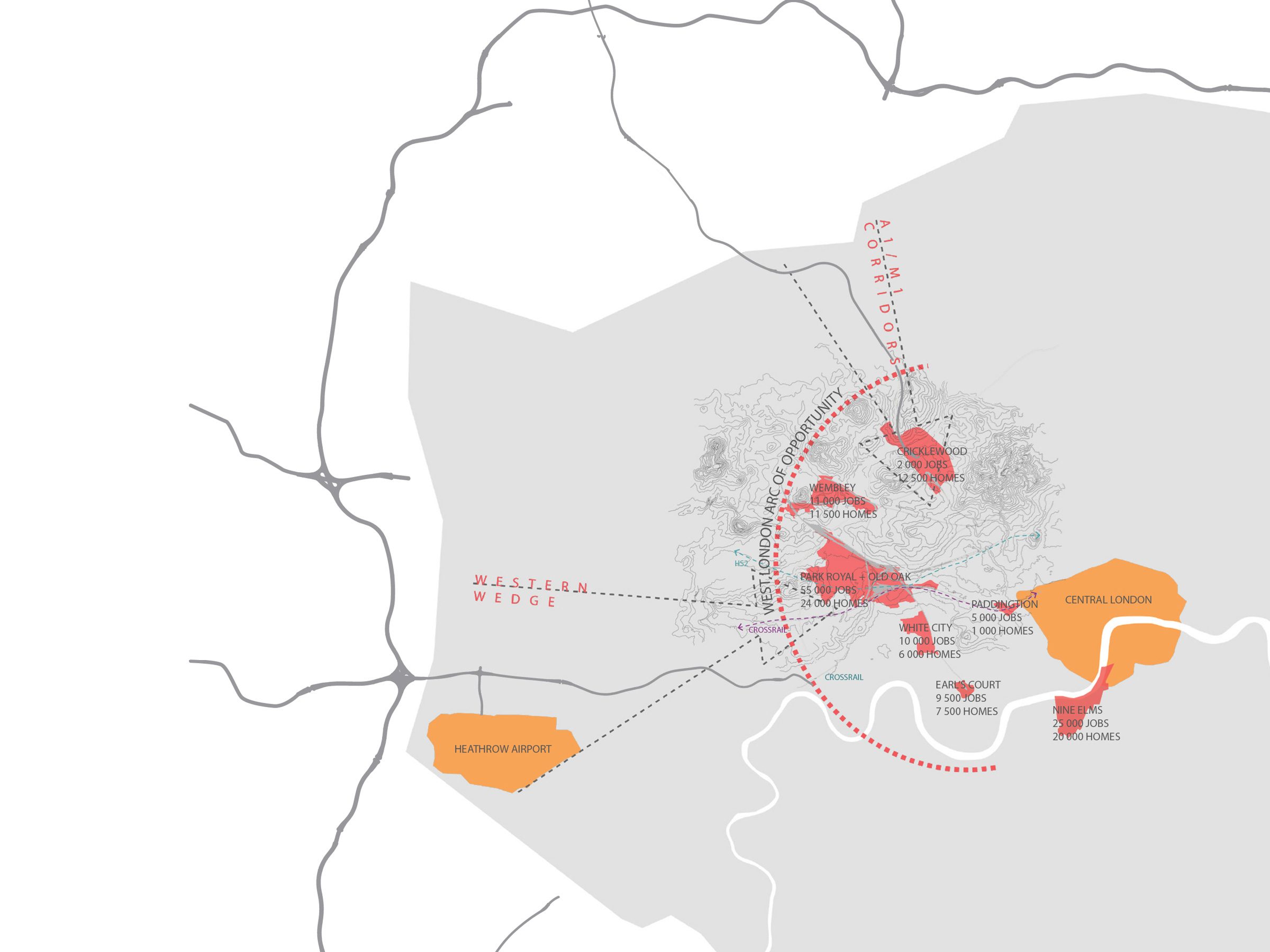
Old Oak and Park Royal is set to undergo radical change with the arrival of High Speed and other rail connectivity. The accompanying new stations will catalyse the delivery of 55,000 new jobs, and 24,000 new homes into the Old Oak area. Old Oak is one of the largest regeneration projects in Europe and a highly complex fragmented landscape.

5th Studio produced a connectivity and public realm strategy as part of the in-depth review of the topographical and infrastructural constraints affecting the site. This has informed the local plan development by the Old Oak & Park Royal Development Corporation.

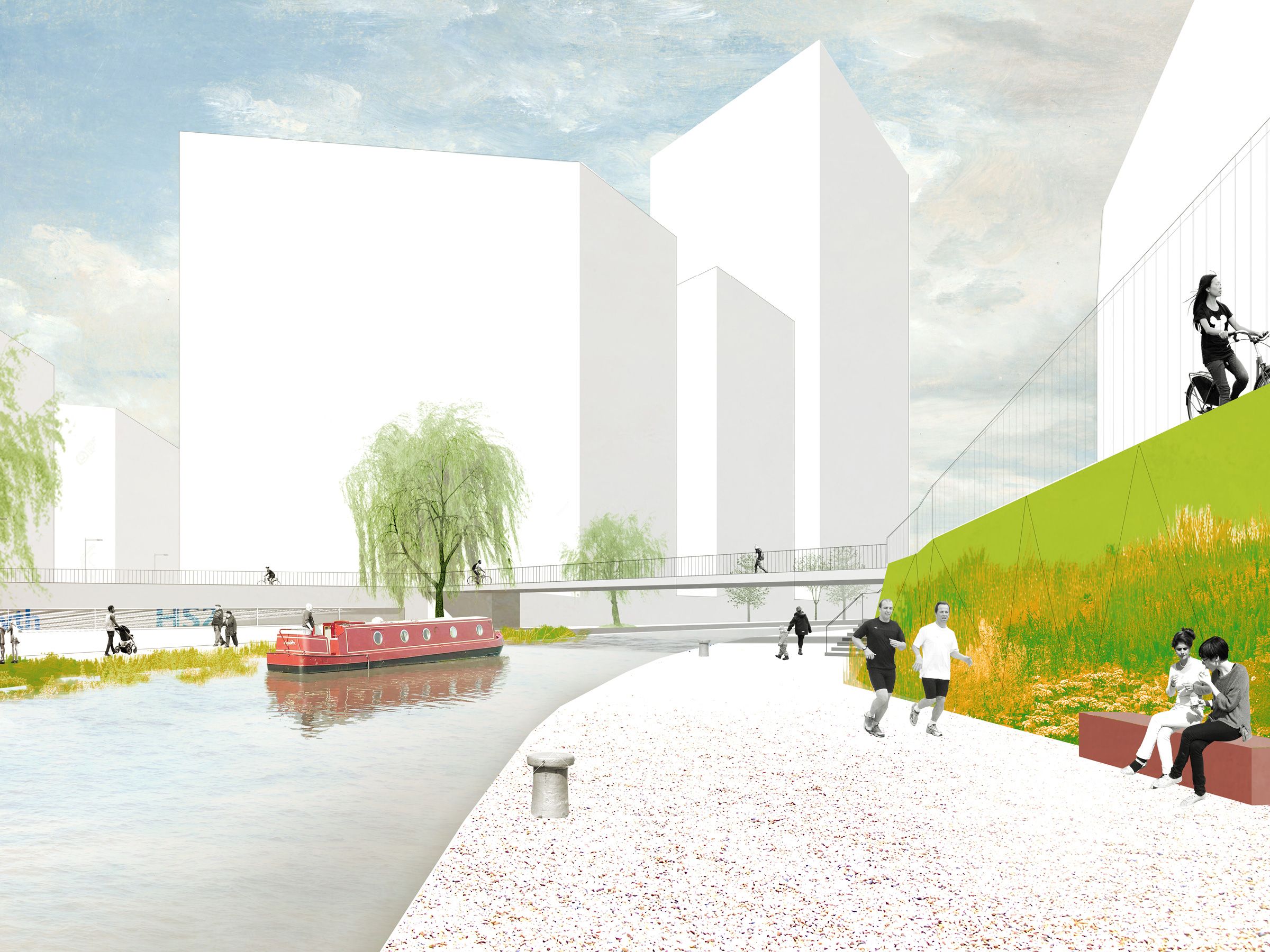
The strategy identifies clear design principles for the future public realm movement network and spaces. This connective public realm can be understood as a new primary infrastructure – it will need to play multiple roles: enabling the expected density of occupation; making possible the ambitions for an environmentally sustainable development; be resilient to future climate change; and be capable of transforming the most challenging moments into moments of beauty and character, in the best traditions of city making.
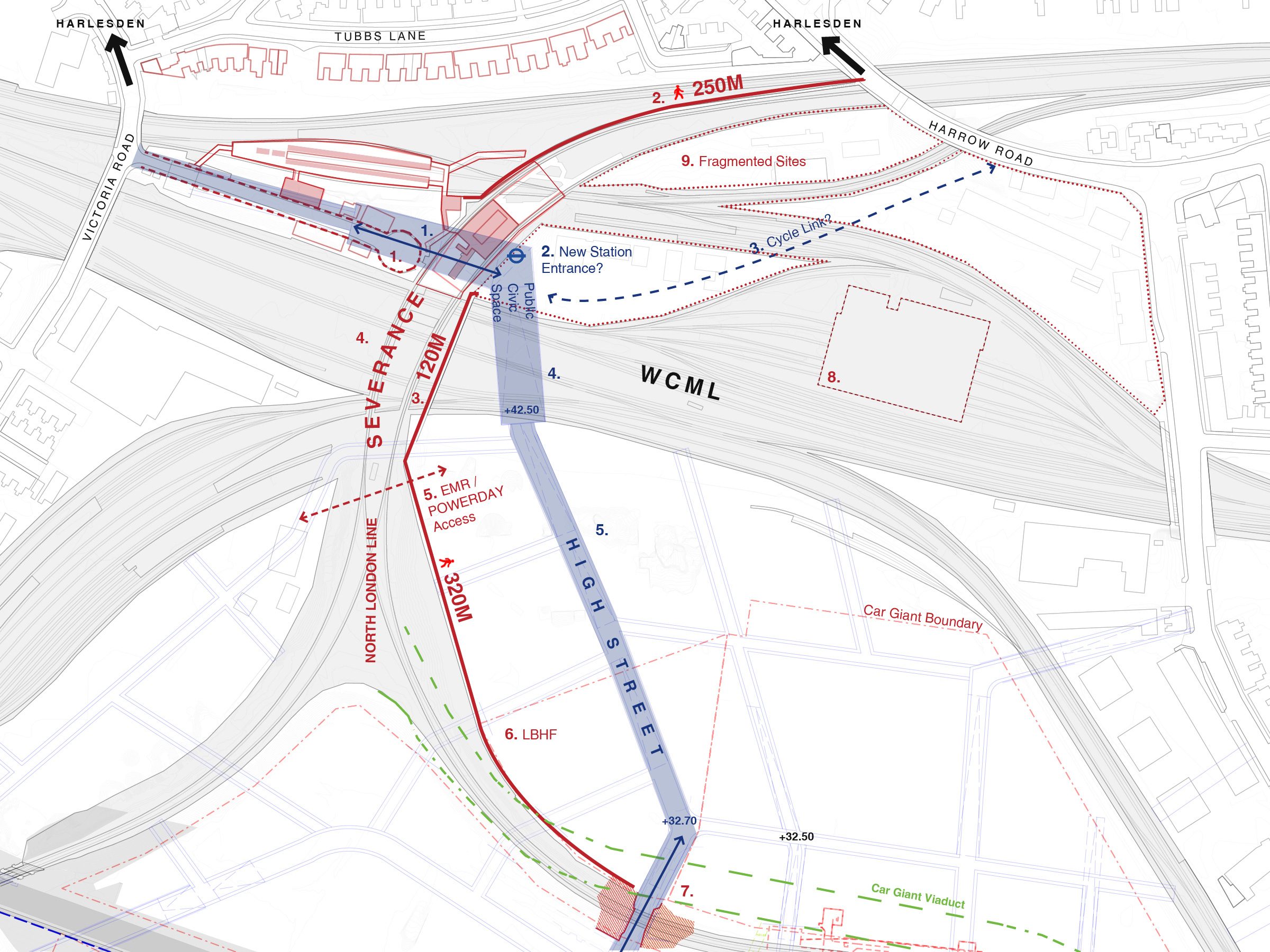
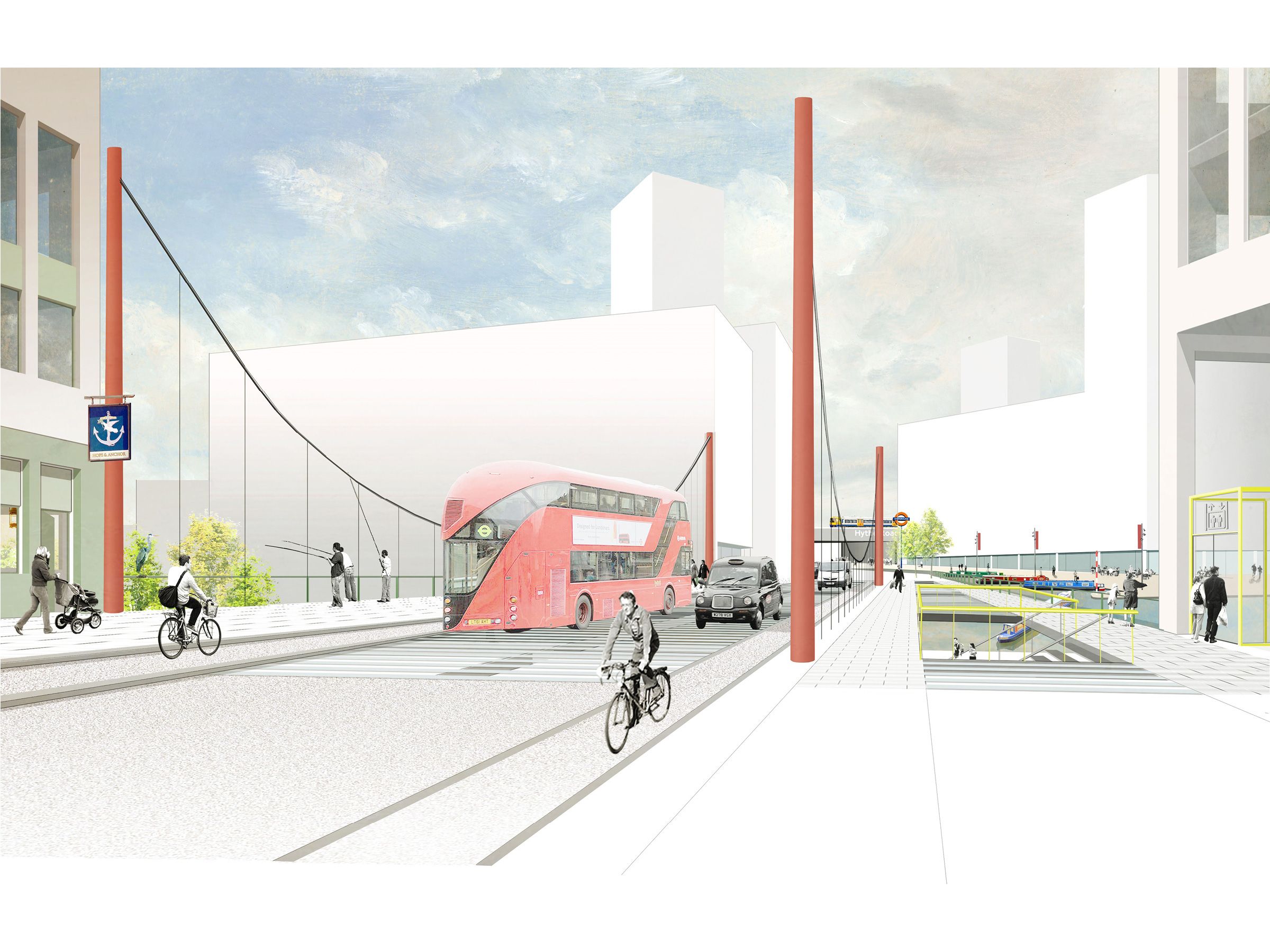
The functional vibrant busy high street works towards normalising complex topographic challenges and infrastructure and supporting characterful public spaces.
1 / 0
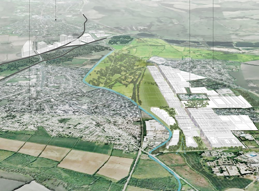
The growth area is central to West London’s Arc of opportunity. The site is about to undergo massive change.
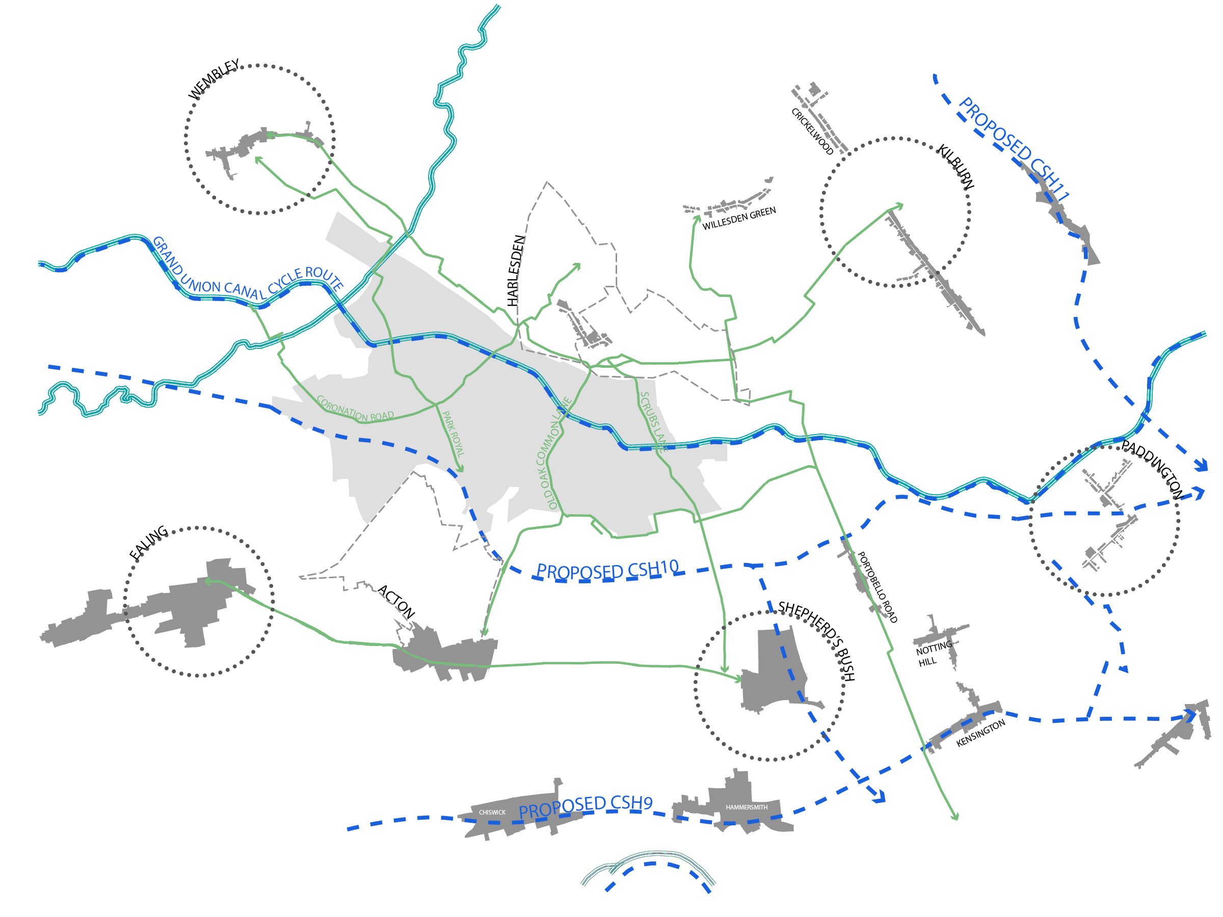
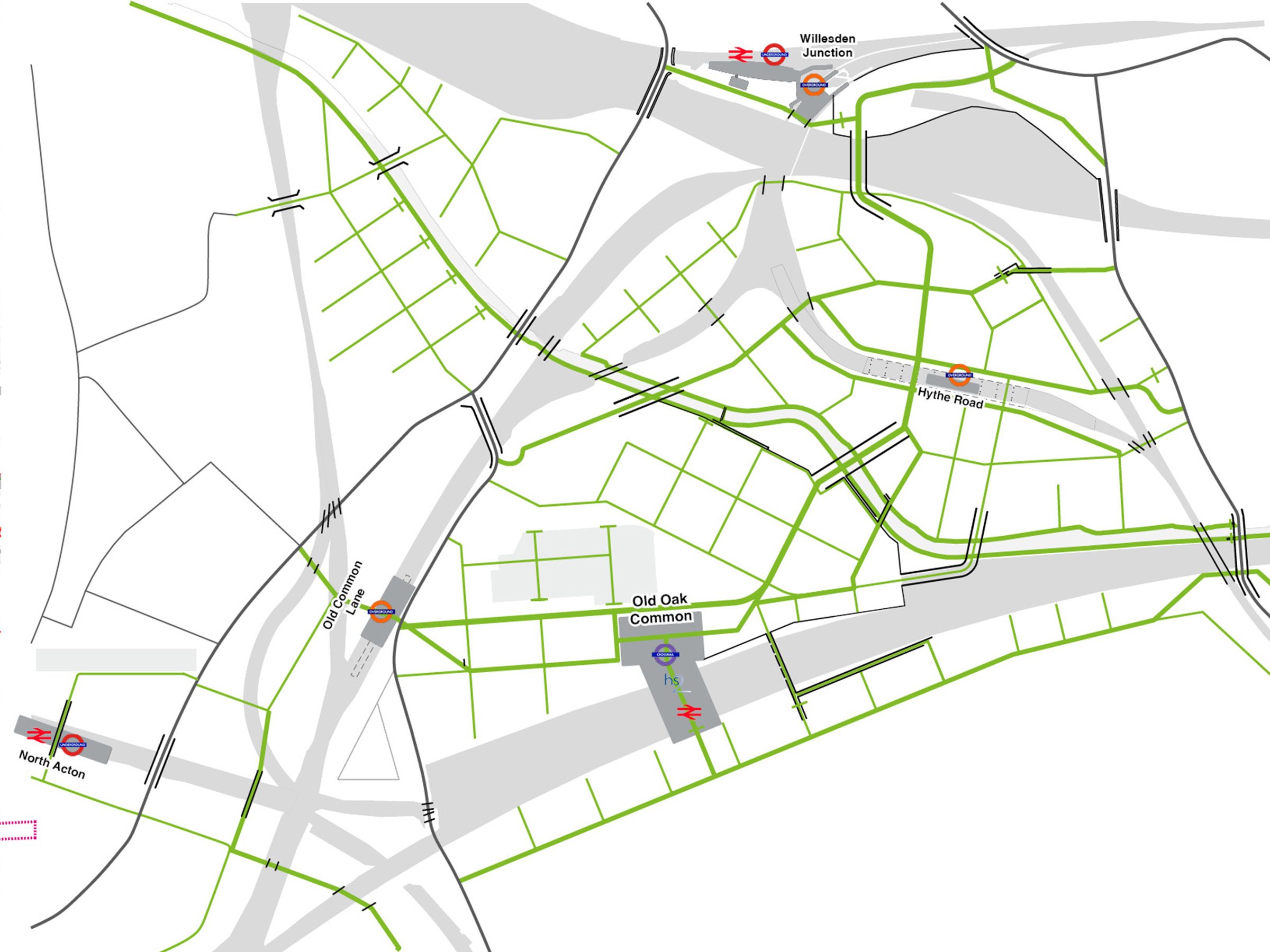
The study area includes Park Royal - an established industrial estate, and Old Oak, an area dominated by severances. One of the study aims was to connect and integrate this part of London to its wider surroundings.
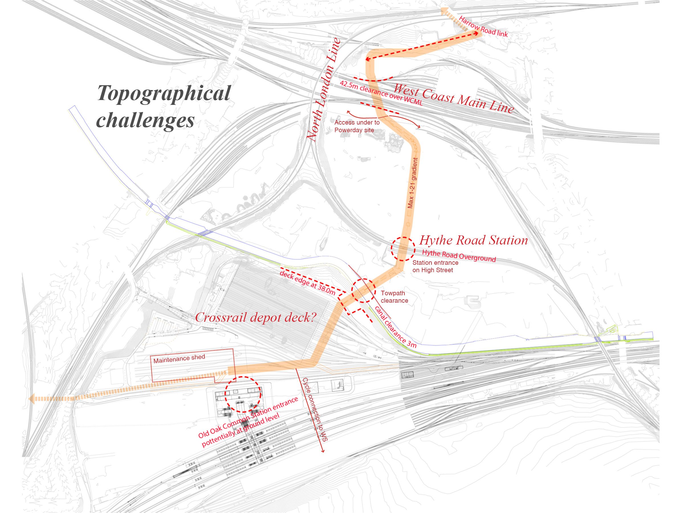
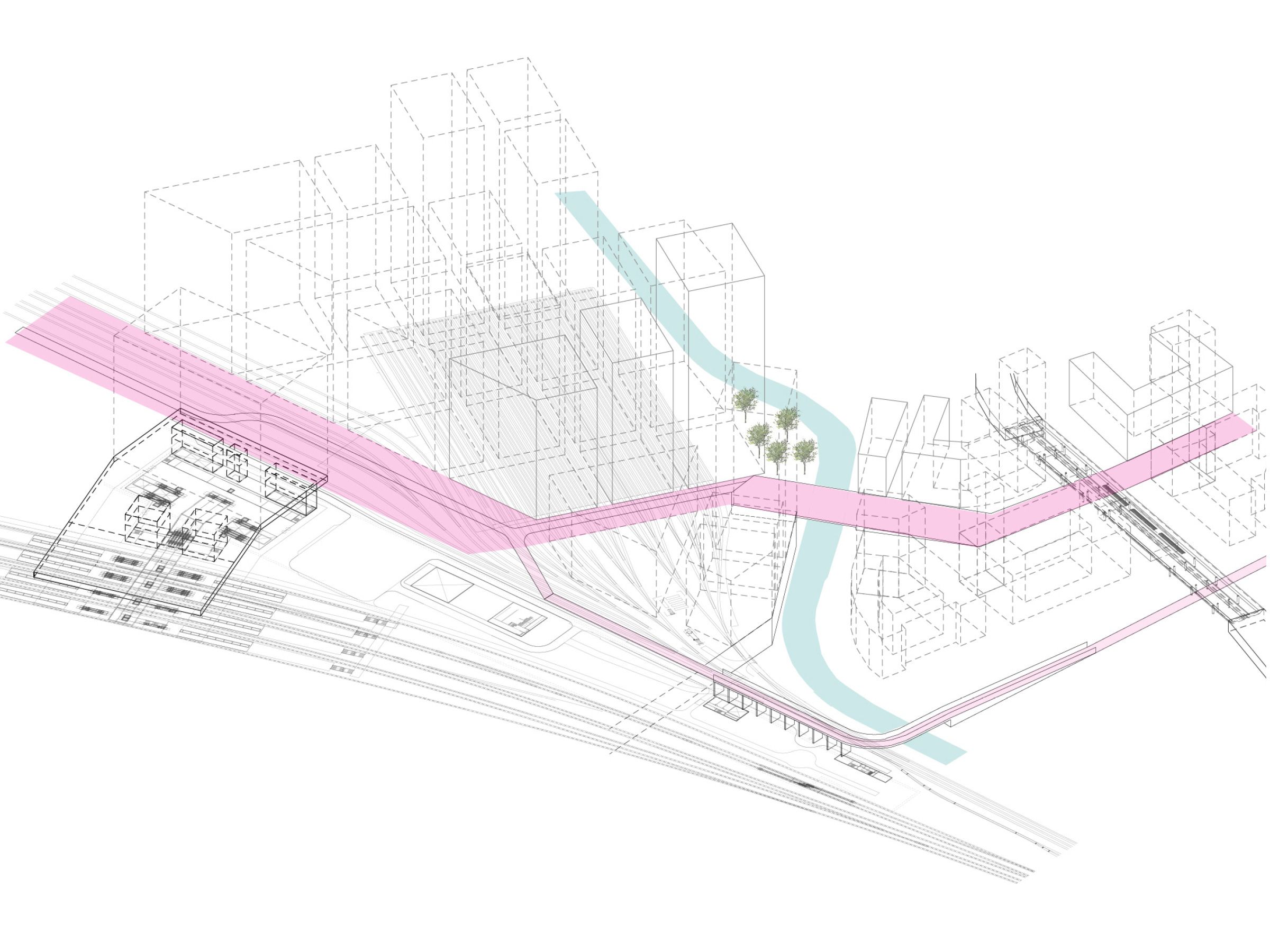
The new legible and accessible network of streets proposed had to mediate between a series of challenging topographical constraints.
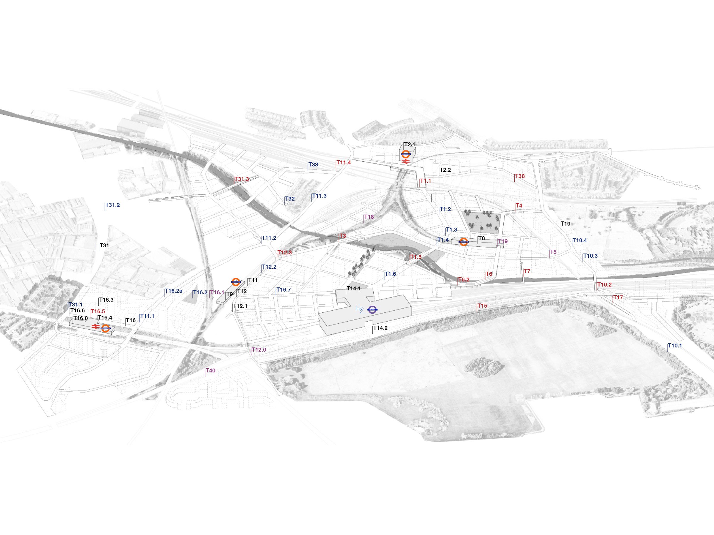
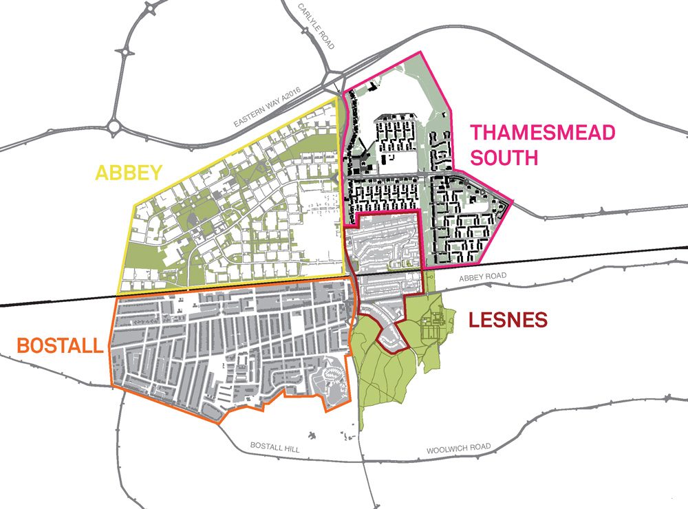
A series of constraints and opportunities were mapped in detail for each area in order to better understand the existing fabric.
A series of infrastructure projects were proposed in the Draft Local Plan, comprising new streets, bridges and underpasses which were meticulously analysed and tested.
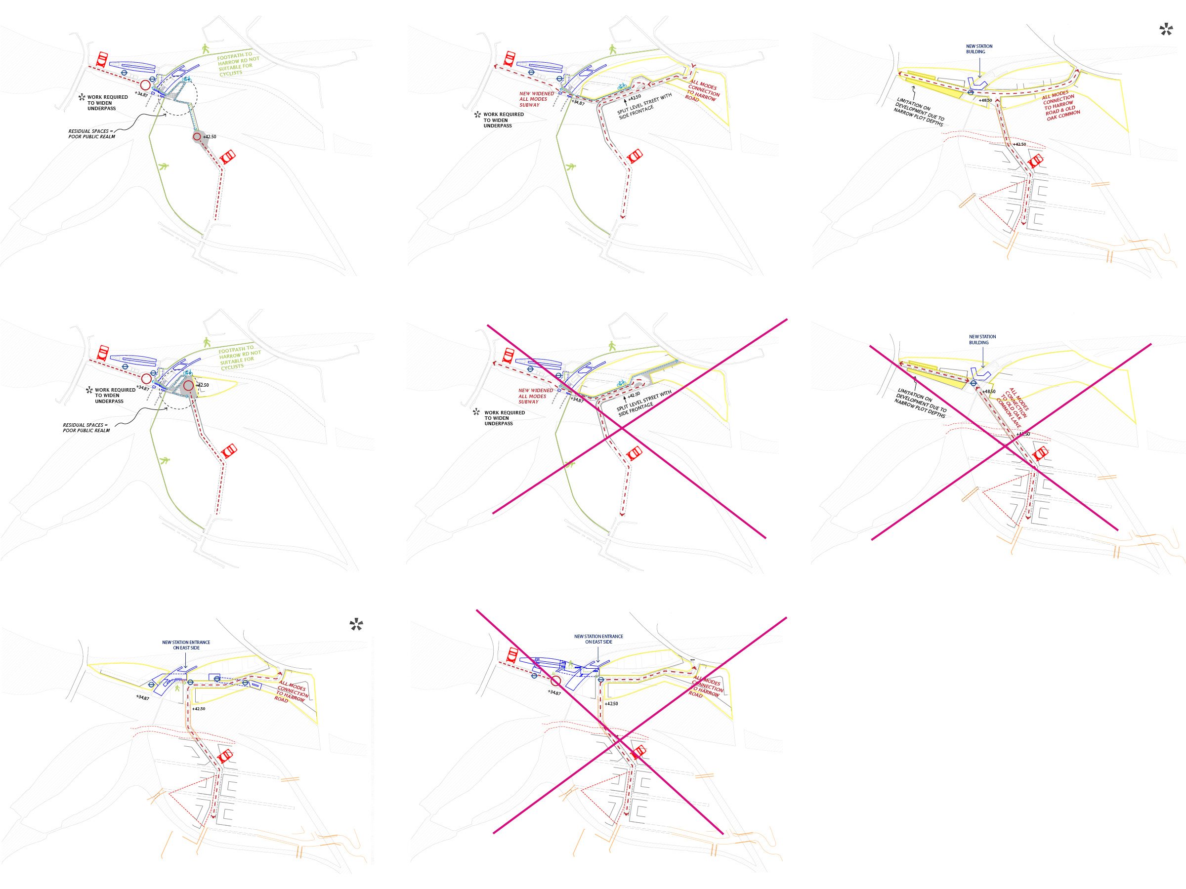
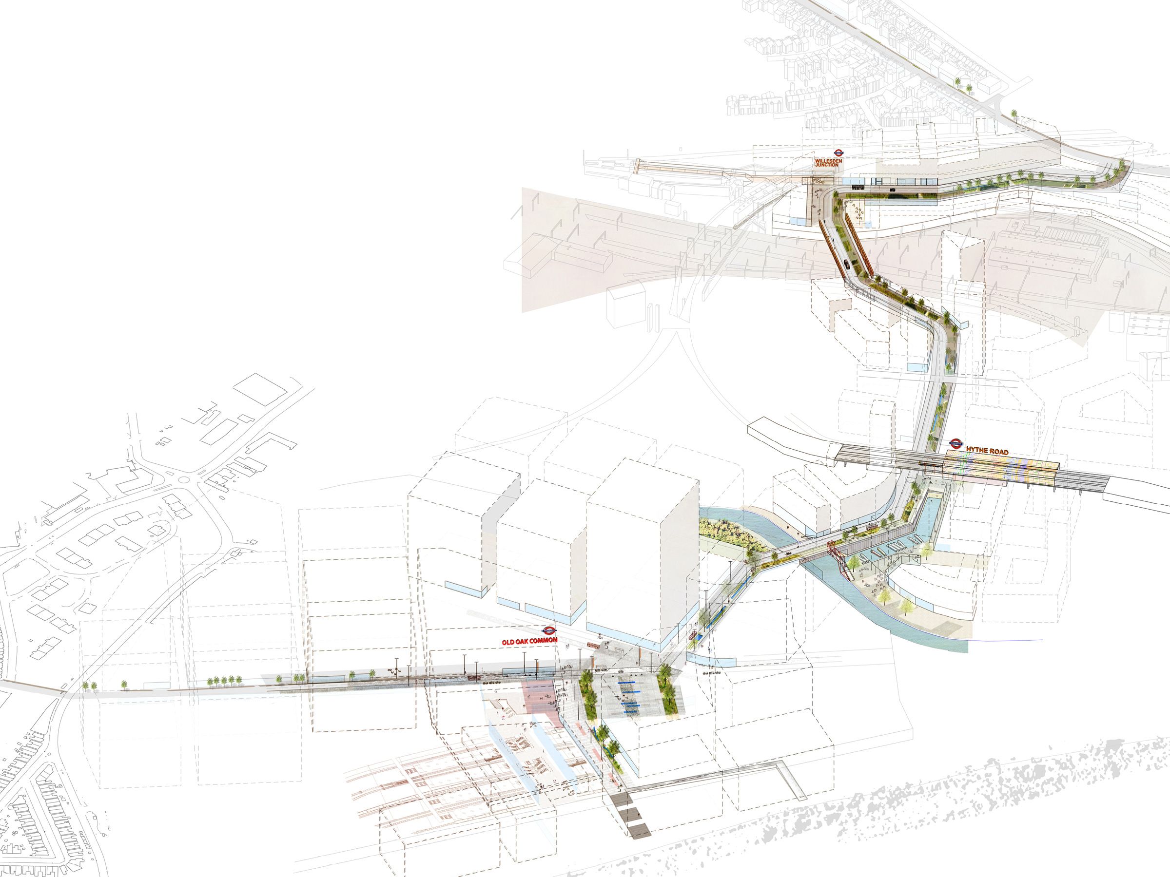
A series of scenarios tested the nature of the link from Old Oak High Street to Willesden Junction before the recommended option was taken forward.
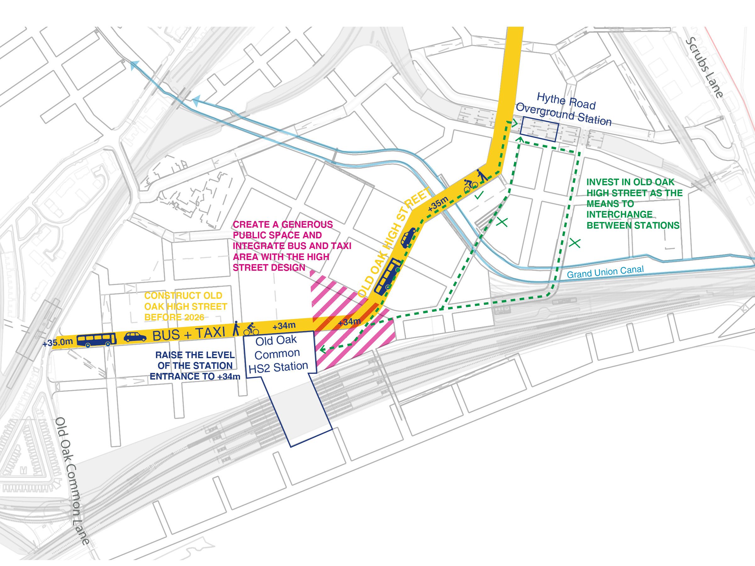
A series of options were tested for the High Street. The objectives focused on overcoming severances, creating a characterful interchange and providing flexibility around future uncertainty.
1 / 0
The study included information on the phasing and delivery of the cycle and pedestrian network. The key time periods relate to the development of key infrastructure and commercial and residential development. These were supported by transport modelling.
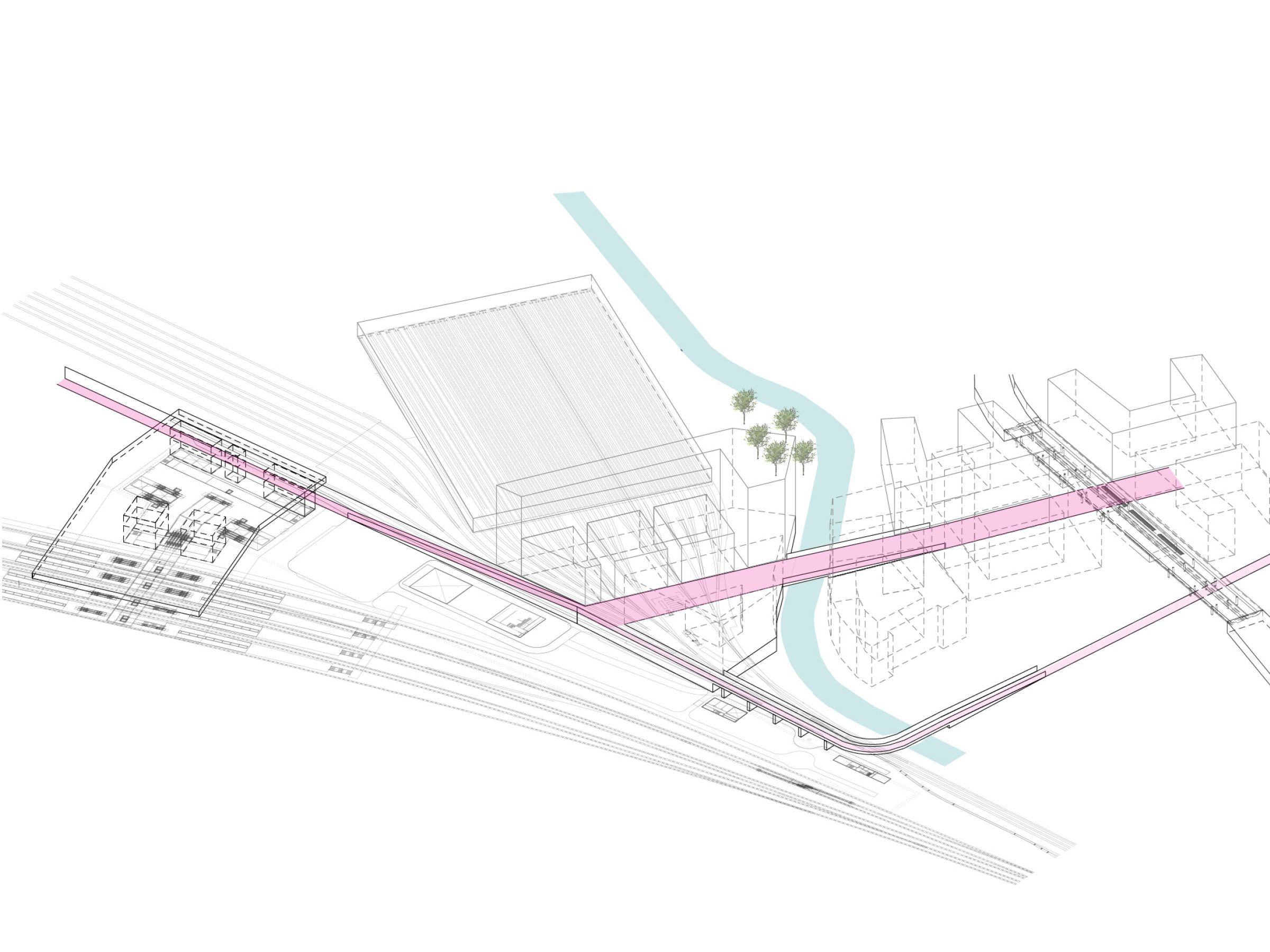
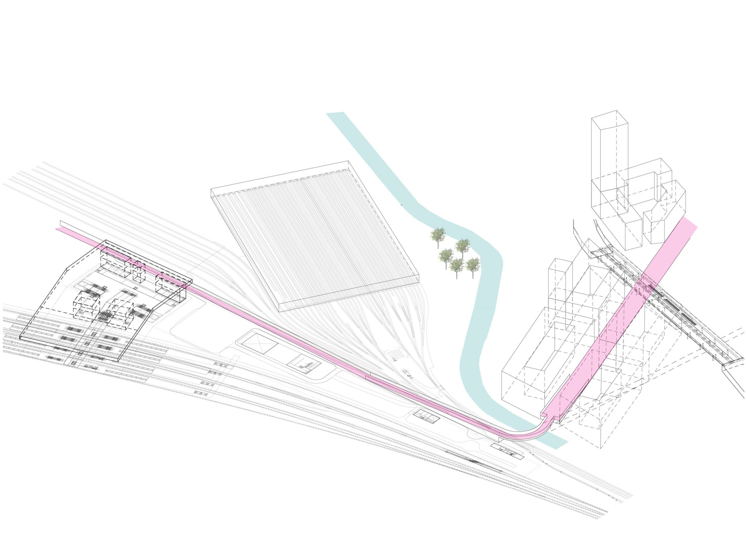
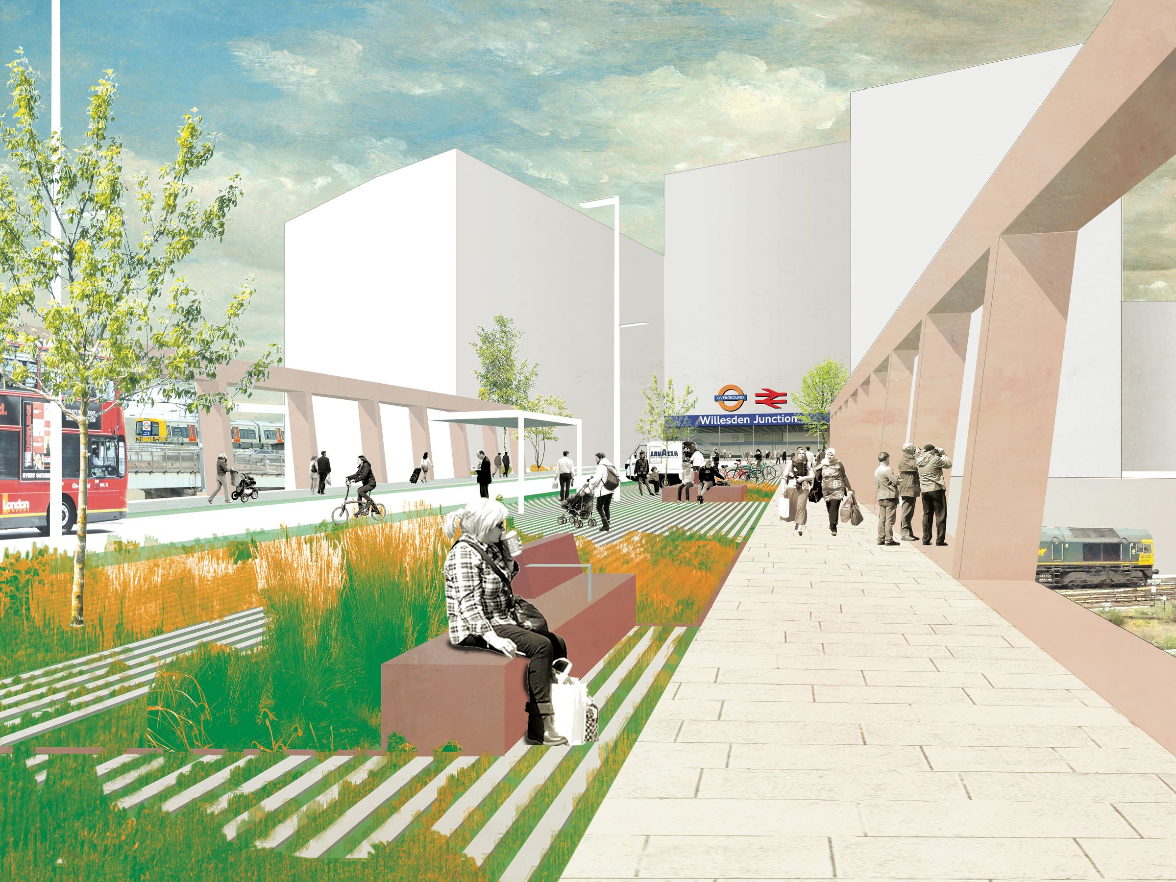
The functional vibrant busy high street works towards normalising complex topographic challenges and infrastructure and supporting characterful public spaces. The growth area is central to West London’s Arc of opportunity. The site is about to undergo massive change. The study area includes Park Royal - an established industrial estate, and Old Oak, an area dominated by severances. One of the study aims was to connect and integrate this part of London to its wider surroundings. The new legible and accessible network of streets proposed had to mediate between a series of challenging topographical constraints. A series of constraints and opportunities were mapped in detail for each area in order to better understand the existing fabric. A series of infrastructure projects were proposed in the Draft Local Plan, comprising new streets, bridges and underpasses which were meticulously analysed and tested. A series of scenarios tested the nature of the link from Old Oak High Street to Willesden Junction before the recommended option was taken forward. A series of options were tested for the High Street. The objectives focused on overcoming severances, creating a characterful interchange and providing flexibility around future uncertainty. The study included information on the phasing and delivery of the cycle and pedestrian network. The key time periods relate to the development of key infrastructure and commercial and residential development. These were supported by transport modelling. View North along the High Street towards Willesden Junction Station shows the station entrance on the High Street and the visible railway. The bridge is proposed to be wide enough to accommodate all traffic modes and provide future resilience.
1 / 0

CONTACT

studio@5thstudio.co.uk

We are keen to receive CVs and short portfolios from Part 1 and Part 2 designers. Please contact us via recruitment@5thstudio.co.uk

We actively encourage qualified applicants from underrepresented backgrounds to apply.

LONDON Unit 14 21 Wren Street London WC1X 0HF t +44 (0)20 7837 7221 View on Google Maps

CAMBRIDGE Darkroom Gwydir Street Cambridge CB1 2LJ t +44 (0)1223 516009 View on Google Maps